Book Tickets Online
About
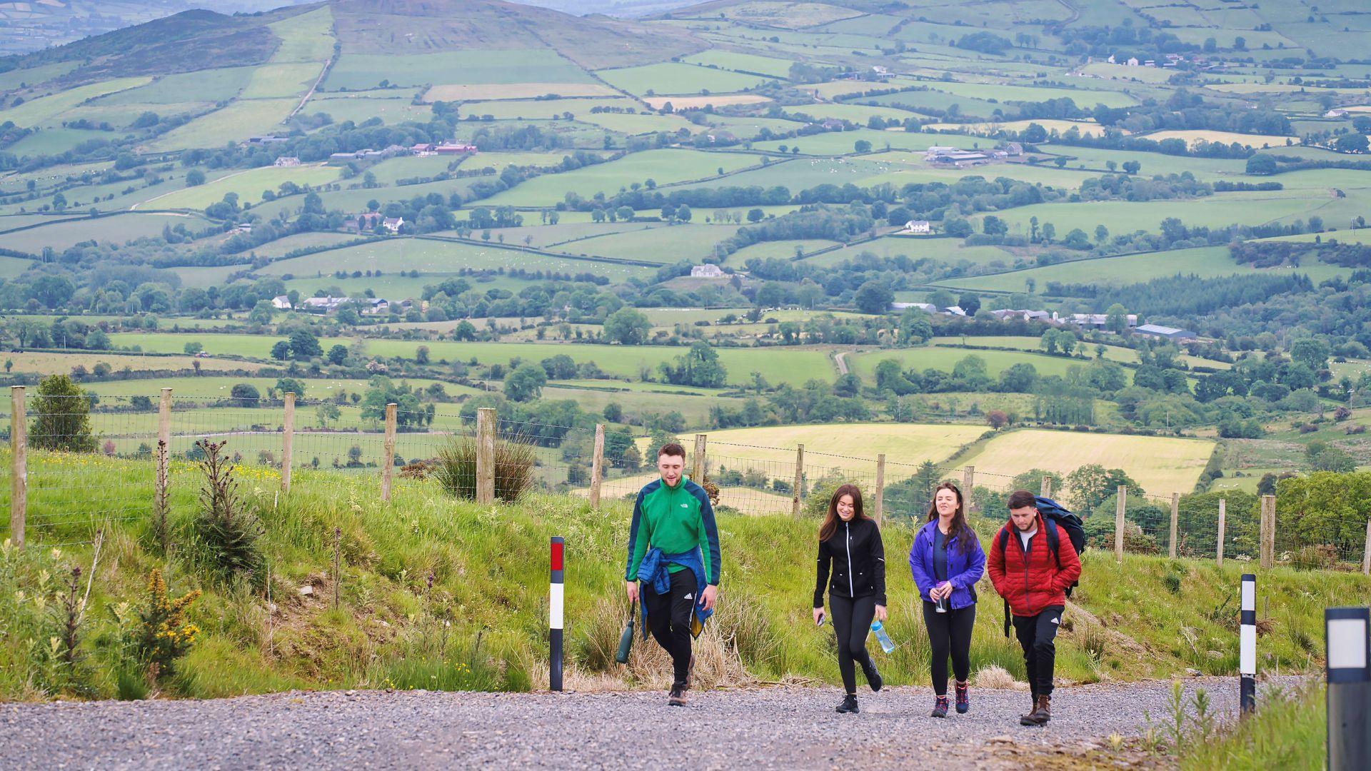
Bessy Bell is part of the Sperrin Mountain Range. It reaches an elevation of 420m (1,378 feet) and dominates Baronscourt to the west and the Strule Valley to the east. From the summit, and Donald Gorm’s cairn, views stretch as far as the Derg Valley, the Sperrins and the hills of Donegal. Follow the signs for the International Appalachian Trail Ulster Ireland /Ulster Way. Users should stay on the designated path. This walk is situated partially in a working forest environment and may be subject to diversion and closure from time to time. Interpretation can be found along the route.
Distance: Approximately 12.8 Miles/20.6 KM
Start & Finish Point : Car park, Mellon Country Inn, Beltany Road , Co.Tyrone (A5 between Omagh and Newtownstewart)
Return Point : Baronscourt Road
Route Type : Linear Route . Tarmac, rough grassland and heather, gravel track.


